Jaisen Nedumpala: Difference between revisions
(Created page with " = Jaisen Nedumpala = thumb Jaisen is a part-time research scholar at the School of Environmental Sciences, Mahatma Gandhi University of Kerala. Passionate about RS & GIS, he actively engages with the OpenStreetMap community, contributing his mapping skills to chart previously unmapped areas and improve the accuracy of existing maps. One of his successful projects is a mapping experiment on an unsurveyed land, an #OpenGeoData initiative with the invo...") |
No edit summary |
||
| (One intermediate revision by the same user not shown) | |||
| Line 1: | Line 1: | ||
[[File:Jaison.webp|thumb]] | [[File:Jaison.webp|thumb]] | ||
Jaisen is a part-time research scholar at the School of Environmental Sciences, Mahatma Gandhi University of Kerala. Passionate about RS & GIS, he actively engages with the OpenStreetMap community, contributing his mapping skills to chart previously unmapped areas and improve the accuracy of existing maps. One of his successful projects is a mapping experiment on an unsurveyed land, an #OpenGeoData initiative with the involvement of the free software community. | Jaisen is a part-time research scholar at the School of Environmental Sciences, Mahatma Gandhi University of Kerala. Passionate about RS & GIS, he actively engages with the OpenStreetMap community, contributing his mapping skills to chart previously unmapped areas and improve the accuracy of existing maps. One of his successful projects is a mapping experiment on an unsurveyed land, an #OpenGeoData initiative with the involvement of the free software community. | ||
Latest revision as of 00:51, 2 June 2024

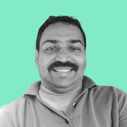
Jaisen is a part-time research scholar at the School of Environmental Sciences, Mahatma Gandhi University of Kerala. Passionate about RS & GIS, he actively engages with the OpenStreetMap community, contributing his mapping skills to chart previously unmapped areas and improve the accuracy of existing maps. One of his successful projects is a mapping experiment on an unsurveyed land, an #OpenGeoData initiative with the involvement of the free software community.